Earth at Night: What Satellite Lights Tell Us
Composite satellite images of the night side of our planet reveal where people live.
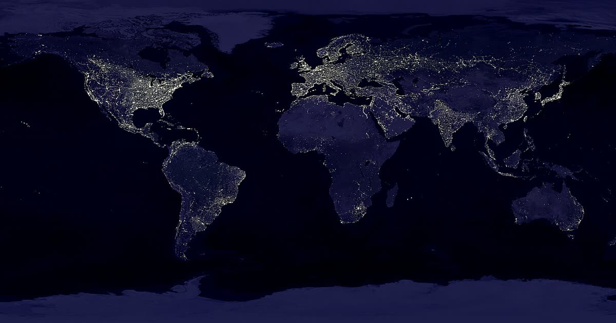
When satellites photograph Earth at night, the most striking feature is the pattern of artificial light. Cities, highways and industrial areas glow brightly, while oceans, deserts, mountains and polar regions stay dark.
These images are useful to scientists. Because lighting generally follows human settlement, night-time light maps help researchers estimate population distribution, track the growth of cities and study how quickly regions are developing. They can also reveal sudden changes, such as the effects of a power outage or a natural disaster.
Night-time images also show a downside of modern life: light pollution. Excess artificial light hides the stars, disturbs wildlife such as migrating birds and sea turtles, and can affect human sleep. Many towns now use shielded, warmer-coloured lights and dimming to reduce the problem.